A whole dossier of historical evidence for Manacor to include the Rock among the public roads
"This case will surely end in a civil lawsuit in which both parties will present the documentation they have and a judge will determine who is right," says the Camins Públics i Oberts Platform.
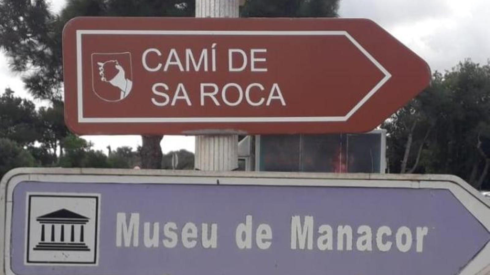
ManacorThe fight for official and practical recognition of the thousands of kilometers of public paths in Manacor continues unabated. With small, great steps, large estates like Fangar already had to reach an agreement so that everyone could walk along routes that have been in communal use for centuries. Now it's the turn of the popularly known Camino de la Roca del Castellet (Camino del Coll del Vent), a symbolic walk for Manacor residents during the Holy Week picnic and the only way to reach the oratory of the Corazón de Jesús.
This Tuesday, the Public and Open Paths Platform registered with the City Council a complete dossier, with documentation and maps, confirming the public nature of the Roca, the result of six months of writing and years of research and searches in various archives throughout Mallorca. This tool aims to streamline the procedures so that Miquel Oliver's council can finally and definitively include the path in the municipal catalog; and thus end years of misunderstandings with the owners of the nearby property, which has had its access blocked for several years.

The municipality of Manacor currently has almost 1,000 kilometers of public trails and paths, with a total of 492 references. Despite this approval in 2001, the access situation and freedom of movement on these paths has not only not improved, but has worsened significantly. Paths have continued to be closed, and the City Council's response has been incomprehensibly null. This has been denounced by the Platform on numerous occasions.
"Within the Catalog of Paths and Layers of Manacor, there are still around thirty paths that are not included, and some of them are quite important, like this one, for example," says Sebastià Gaià. Garba, outside the Manacor City Hall. "Now we'll see if, before the end of this year, the City Council takes a step and puts the work out to tender to revise the document so that it's complete."
"This work is no longer our responsibility. In fact, the budget that has been committed to be allocated to this project is maintained," explains Gaià, holding the more than 150-page dossier.
The dossier was prepared by Jaume Binimelis, professor of Geography at the UIB and an expert in rural transformation, and historian Sebastià Sansó, as well as members of the Platform. This was acknowledged a few days ago by Sebastià Matamalas, one of those who has worked most on it and who has also been responsible for recording numerous oral testimonies, religious or not, that demonstrate the continued use and passage along the Coll del Vent path.
The Bezzina family, owners of the property bordering the road, has stated numerous times through the media that they have documentation proving that the road is private and that it is part of their boundary. This doesn't seem to worry the Manacor community: "If they have documentation, let them show it like we did."
"This case will surely end in a civil lawsuit in which both parties will show the documentation they have, and a judge will determine who is right." One of these properties that border the road has recently come up for sale. "The road is fenced, and if you have a road that runs through the property, it may have one value or another," Garba concludes.
