A 3.1 magnitude earthquake shakes the sea between Catalonia and the Balearic Islands
The earthquake has been registered this Saturday at 19.36 h at 14 kilometers of depth and has not been perceived on land
-
CAT -
CAST -
GER
PalmaA magnitude 3.1 earthquake was recorded this Saturday afternoon in the sea between Catalonia and the Balearic Islands, as reported by the Cartographic and Geological Institute of Catalonia (ICGC).
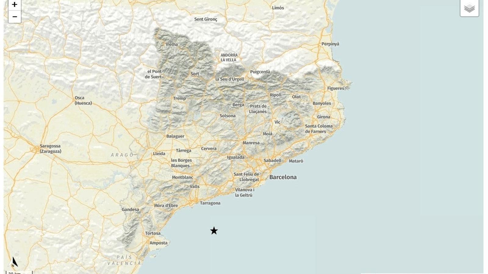
The tremor occurred at 7:36 PM and had its epicenter in the Mediterranean-Balearic Sea area, at a depth of 14 kilometers. The coordinates provided by the ICGC place the epicenter at 40.83 degrees north latitude and 1.46 degrees east longitude.
According to the organization, it is an earthquake without damage and was not felt in either Catalonia or the Balearic Islands. The episode was recorded within the western Mediterranean seismic zone, where low-magnitude seismic movements occur periodically.
