The Balearic Islands, on orange alert this Wednesday for rain and storm
Emergencies warns that the day will be especially complicated from midday, with downpours of up to 40 l/m² in one hour, storms, hail, gusts of 70 km/h, rough seas and possible rissaga in Ciutadella
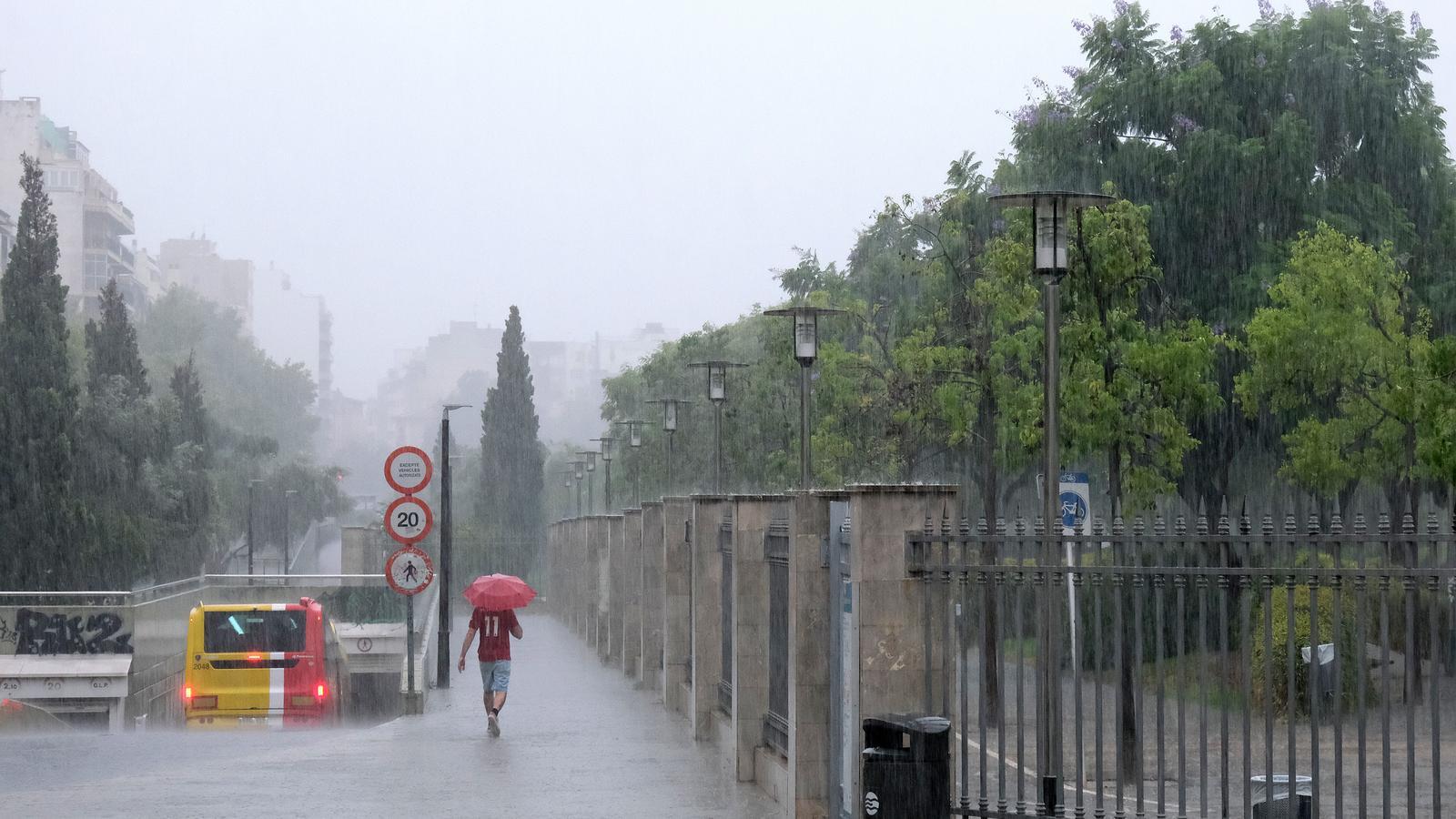
PalmaThe 112 Emergency Coordination Centre has activated an orange alert across the Balearic Islands in view of the forecast for a "complicated" Wednesday with heavy rain and storms. The decision was adopted at Tuesday's meeting of the Technical Advisory Committee (CTA) of the Meteobal plan in view of the foreseeable arrival of adverse meteorological phenomena.

A yellow alert has also been activated for coastal phenomena across all the Islands, for strong wind gusts in Mallorca and Menorca, and for a meteotsunami (rissaga) in Menorca, as reported by 112. "It is shaping up to be a complicated day, as we have almost all the adverse phenomena that Meteobal can record: rain, storms, wind, coastal phenomena, and meteotsunamis," explained the director of the Emergency Coordination Center, Eduardo Parga.
In this regard, he has asked the public for "caution" in the face of a complicated day, mainly starting from midday, during which several follow-up meetings are scheduled to take place. "Do not let your guard down; the day may start with sun but change suddenly, with storms and very powerful wind gusts causing traffic and maritime problems," he said.
The State Meteorological Agency (Aemet) has forecast a change in weather for this Wednesday, which will be marked by the arrival of an episode of rain, wind, and storms that is expected to affect the entire Archipelago.
The front will move from the Peninsula towards the Balearic Islands and could leave rainfall of up to 40 liters per square meter per hour, in addition to storms that could be accompanied by hail and strong winds, with gusts that could reach 70 kilometers per hour. The episode is not expected to be long, but it will be intense. All of this will also affect the sea, where waves of between two and four meters in height are expected. A meteotsunami could also occur in Ciutadella, with a sea level oscillation of up to 90 centimeters.
According to Aemet, the maritime storm is expected to last until Thursday, but the forecast is that the most intense episode of rain and storms will occur during Wednesday and that normality will return on Thursday. Likewise, a notable drop in temperature of about 10 degrees is expected.
Recommendations
In the face of wind, Emergencies recommends avoiding stone walls, advertising hoardings, utility poles, and high-voltage towers; closing the doors and windows of houses; removing flowerpots or any object that could fall into the street; and not walking through parks or tree-lined avenues.
Also, given the possibility of rockfalls and falling trees, they recommend avoiding cliffs, embankments, ravines, and unstable slopes; not stopping near walls, rocks, or large trees; limiting travel on mountain roads; moderating speed on potentially affected roads; and staying away from stones or earth that may have fallen onto the road. In the face of coastal phenomena, it is recommended not to access points on the coastline affected by waves or to go to sea promenades, breakwaters, or cliffs; not to practice water sports; to secure the mooring of boats; and to alert 112 in the event that someone falls into the water.
In case of rain and storms, it is recommended to take measures to prevent water from entering houses, to secure doors and windows, and not to leave objects or furniture outside that the water could drag away. They also advise not to go down to floodable areas of homes, such as basements and garages, and to stay in high areas, also to turn off the main electricity switch if the house floods. On the road, the recommendation is to moderate speed, maintain a safe distance, and drive on main routes.
