A NASA satellite will help Balearic researchers better understand the Balearic Sea
Imedea and SOCIB lead in Spain an international project that analyzes marine currents with a technology much more precise than conventional satellites
-
CAT -
CAST -
DE
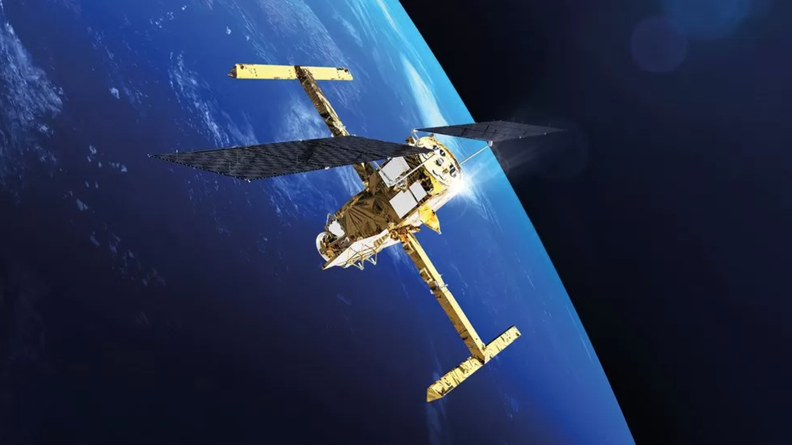
PalmaMallorca will bring together researchers from various countries this week to present the results of the FaSt-SWOT project, an international initiative that uses a NASA satellite to study the currents of the Balearic Sea with unprecedented precision.
The project is led in Spain by the Mediterranean Institute for Advanced Studies (Imedea) and the Coastal Observation System of the Balearic Islands (SOCIB), which in recent years have combined data collected from space with oceanographic campaigns carried out on the Islands to verify the reliability of the measurements.

The objective is to better understand how water moves in the Mediterranean and obtain more precise information on processes that directly influence climate, marine ecosystems, and nutrient transport.
According to the project leaders, the SWOT satellite, developed by NASA and the French space agency CNES, has made it possible to reduce the margin of error in sea level calculation by 24% and improve the accuracy with which the speed of marine currents is estimated by 30% to 35%.
This data also allows for the detection of phenomena such as marine eddies and other water movements in greater detail, which were difficult to observe with traditional systems until now.
The project has included about thirty international oceanographic campaigns with research vessels, underwater gliders, buoys, coastal radars, and other instruments, which have served to validate the information obtained by the satellite.
The meeting to be held in Mallorca will mark the end of this first phase of the project and will bring together researchers from France, the United States, Italy, and Belgium to share results and knowledge about the Balearic Islands.
