Difficulty 2 out of 5
Distance 7.3 km
Elevation gain 211 m
Duration 2 h 15 min
Maximum altitude 221 m
Circular route
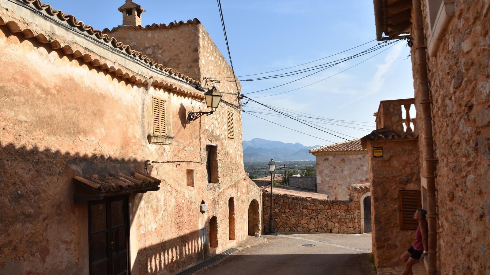
PalmaIn this itinerary, we explore the surroundings of Santa Eugènia to travel along part of its oldest road network and discover some of the most representative villages of the municipality, Les Coves and Les Olleries, for their history and heritage. Almost unpublished corners that can only be experienced and perceived on foot, with all five senses. If a few weeks ago we were in the northeastern part of the town to visit Les Alqueries, today we move to the almost opposite side, with the intention of traversing the paths and landscapes that make up a part of the most significant Taujà cultural landscape. We are located in the Pla de Mallorca region, between the municipalities of Sencelles, Algaida, Palma, Santa Maria del Camí, and Consell.
If we want to use public transport, the L-304 (Inca-Sencelles-Palma) and the L-304d (Santa Eugènia-Santa Maria) are the lines that stop in Santa Eugènia. On the website tib.org you will find all the information regarding schedules and availability of this service. The Santa Eugènia bus stop is located a few meters away from the Aljub, an interesting example of the traditional hydraulic system. It gives its name to the street that connects the roads of Sencelles and Sineu. Probably built from another that already existed in the 14th century, the cistern supplied water to the village until the 1950s.
[00 min] Oriented towards the northwest, we start walking from the Aljub towards Santa Maria along the road (Ma-3040). During the first half-kilometer, we have a sidewalk on the right side that allows us to advance with comfort and safety. [05 min] We will have to walk the next 800 meters, starting from the Vinya Taujana winery, with great caution on the left side of the road. Thus, until we reach the height of the Camí de les Coves [20 min], where we turn left towards this unique hamlet of Santa Eugènia.

We leave on the left the path that leads to the houses of Son Vidal and shortly after, having left the houses of Son Vic on the right, we enter Les Coves [25 min]. On the right, we have a street that climbs towards the interior of the hamlet, formed throughout the 18th century and during the first half of the 19th century from the consolidation of the settlements that were produced there. The name comes from the cavities found in the surroundings. The largest group is located within the Son Vidal torrent, between Son Vidal and Son Sastre; but there are also some on the hillside that the hamlet occupies and also along the Rafal valley. Some of these cavities are prehistoric artificial caves, used as burial sites, some of which have been used more recently as agricultural warehouses.
We follow our path below the hamlet of Les Coves, oriented towards the southwest, along a narrow and paved road. On the left we find a cave that was used some time ago as a cellar, linked to the house of Son Vidal, on the right side of the path. We soon leave the hamlet and arrive at the Les Coves well [30 min], located right in the middle of the path, in a section that forms a wide esplanade. A space where flocks of sheep would take shelter to drink. Shortly after [35 min], the path forks and we take the left towards the Rafal valley. We advance between the hillsides of Puig de Son Seguí, on the right, and Puig de Santa Eugènia, on the left.
At the next two forks, we follow the path on the left first, and just after, the one on the right. We come out right in front of the Rafal houses [45 min], which we leave on the right, and continue now along a dirt path that is oriented towards the south. Soon, we find a small path on the left that we must take. The trail, well-trodden, crosses the valley and leaves us on the opposite side from where we came, below Puig de Santa Eugènia. We come out onto a cart track that we follow to the right, again oriented towards the south. [1 h 05 min] We come out onto the Camí de les Olleries, on the left we have Santa Eugènia and the Lourdes cave, which we will visit later. Now, we direct our steps towards this other hamlet where long ago –most likely already in the Muslim era– pottery workshops and kilns proliferated, specialized in the manufacture of pots, cups and other kitchen containers and utensils.
The core of Les Olleries itself consists of about 25 houses, most of which appear along the path in this part of our itinerary. Next to modern constructions of little interest, we find others that are more classic and of clearly visible antiquity. This is the case of Can Cotà, Can Menut, and Can Pelús. The last houses before coming out onto the Sineu road are Can Planiol, where there used to be a restaurant, Ca na Menuda, Ca sa Padrina, and Can Prim. [1 h 25 min] Finally, we go out for a moment onto the old Sineu road (Ma-3011) to contemplate two jewels: L’aljub de la Cova and the Can Penós inn.
The cistern is located next to the old Sineu road, immediately after exiting the Camí de les Olleries on the left, just in front of the Can Cova houses. It is one of the most important in the area and was used to water passersby and also for transhumant sheep flocks. A popular tradition links its creation to the figure of King James, who, on his way to Sineu, stopped there to get water from a small natural pool, after which he ordered the construction of a cistern. A few meters further on, in the direction of Palma, we find the Can Penós inn on the right side of the road. A traditional stopping place for carters until it closed well into the 1940s. Its origin dates back to the 14th century.

We return to the Olleries path and direct our steps towards Santa Eugènia. Before that, however, we will make a stop at the Lourdes cave [1h 50 min]. We find it well signposted on the left of the path, shortly before entering the town. It is worth going up. The original name is the Coloms cave. Things changed when in 1920, after the municipality's segregation from Santa Maria del Camí, the first rector of the Santa Eugènia parish, Father Mateu Coll Rubí, had an image of the Virgin of Lourdes placed there, which enjoyed great veneration among the population. Later, in 1942, the ensemble was completed with the image of Bernadette.
To close the circuit we have two options. The first and simplest is to return to the Olleries path and turn left towards the town. The second is to take a path that starts at one end of the cave, right where the descent via the staircase begins. It immediately forks and we must turn uphill until we come out onto one of the many paths that climb the Santa Eugènia hill. We turn right and head towards the center of the town and the Aljub, the end of the route [2 h 15 min].
Difficulty 2 out of 5
Distance 7.3 km
Elevation gain 211 m
Duration 2 h 15 min
Maximum altitude 221 m
Circular route
@Fita_a_Fita
