Difficulty 2 out of 5Distance 10.53 kmElevation gain 44 mDuration 2 h 45 minMaximum altitude 84 mCircular route
Milestone by milestone
The paths of Llucmaçanes, sinuous freshness, beauty and genuineness
Long walk through the south of the municipality of Maó along old paths, very narrow and nestled between dry stone and history
Milestone by milestone
31/07/2026 - 20:55 h.
4 min
PalmaThe following proposed itinerary is a long walk through the south of the municipality of Maó, along old, narrow paths, between dry stone and history. Stretches of sinuous freshness, beauty, and authenticity. We start from the hermitage of Gràcia, patron saint of the city which has been, since the 18th century and by British imposition, the capital of Menorca. The intention is none other than to go around the Maó hamlet of Llucmaçanes, a small urban nucleus of 179 inhabitants, headed by the modern church of Sant Gaietà, from the end of the 19th century, and a series of small, orderly houses. “The first news of the existence of a settlement in Llucmaçanes dates back to the 16th and 17th centuries, when there was talk of a concentration of small properties where vines were cultivated and wine was made. The name of the nucleus is older and would originate in Roman times, in an elocution that presents us with a place with an abundance of fruit trees, mainly apple trees. In 1860, the urban census shows us the existence of 43 houses and a hundred inhabitants. The first urban plan is from 1889 and four streets and the Plaça de Sant Gaietà are projected there.” (Maó, “Guide to the Municipalities of Menorca”, Josep Portella Coll. Hora Nova, 2007).
The route
[00 min] We start the walk from the hermitage of Mare de Déu de Gràcia. Located next to the cemetery of Maó and one kilometer from the city center. It was built between 1436 and 1461, with smaller dimensions than the current one. In 1535 it suffered serious damage due to the attack of the Turkish squadron commanded by the pirate Barbarossa; the restoration of the hermitage was financed with alms. The current finish is from the first third of the 18th century. We advance south along the path of Trepucó. At the first crossroads, we turn left and immediately right, following the signs that lead us to the Talayotic village [10 min].
Trepucó is one of the largest Talayotic villages in Menorca (more than 4 ha in extension) and was originally walled. Currently, only a small part of the settlement is preserved: some sections of the wall with two square towers, two talayots, the taula enclosure and some perfectly visible remains of dwellings. The largest talayot and the taula are located in the center of a star-shaped fortification, built in dry stone during the 18th century by the Spanish troops who besieged the castle of Sant Felip, in British hands (Source: menorcatalayotica.info).

Once the site has been visited, we return to the path and advance on our route. After passing the houses (very striking, by the way!) Villa Rosendo and Villa Aguedita, on our left, we emerge onto the Camí Llarg [15 min], where we turn right, now heading west towards the beautiful and tranquil town of Llucmaçanes. At the end of the stretch, we reach the Maó to Sant Lluís road (Ma-8), where, slightly to the right, at the height of the restaurant S’aturadeta Jardins, the unpaved Camí de Malbúger [25 min] begins. Soon we come across, on the right, the Camí de Malbúger Vell, which we bypass, and on the left, the wire fence surrounding the Sant Lluís aerodrome. Its origin dates back to the summer of 1936 and is linked to the outbreak of the Civil War. For 20 years, between 1949 and 1969, it was Menorca's main airport until the inauguration of the current one.
We enter the village of Llucmaçanes via Carrer de Malbúger [45 min]. We follow it straight ahead, facing west, until we are in front of the church of Sant Gaietà, a striking neogothic building, quite stylized and tall, erected at the end of the 19th century in memory of the founder of the Theatine order, Cajetan of Thiene. To the right of the main portal, the well-signposted Camí de Biniati begins, along which the route continues. Although we soon leave it to the right to follow the Camí de Tornaltí, boxed in by dry stone walls and full of greenery. The stretch winds through wide fields.
The Camí de Tornaltí leads to a wide paved road [1 h 10 min], surrounded by facilities and businesses linked to airport activity. Before reaching the Menorca Airport road [1 h 15 min], we leave on our left the path leading to the talayotic house of Biniparratx Petit, a prehistoric dwelling from the 4th century BC. It was excavated in 1995 at the southern end of the Menorca airport runway and was later moved to the green area where it is currently located.

Camí de Tornaltí d’en Vigo
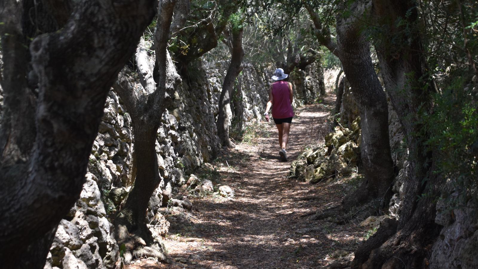
Once we have left for the airport road, we turn right and immediately after, again to the right, along a road that opens up between a restaurant and the car park. We are at the start of the Tornaltí d'en Vigo path [1 h 20 min], which from now on presents one of the most winding and unspoiled routes in the entire Llucmaçanes area. This section of the route is a true gift for the senses: freshness, beauty, and genuineness. Our happiness, however, ends when we regain the asphalt of the na Ferranda path [1 h 45 min], where we turn left. After passing the small farms of Tornaltí Nou, la Tanca, and l'Estància de s'Era, we reach a new and important crossroads.
We turn right along the Claudis path [1 h 50 min]. Facing east, the stretch is long, narrow, and enclosed between the dry stone wall and history. The path ends at the crossroads formed by the Camí de Baix (one of the most frequently used asphalted access roads for vehicles accessing Llucmaçanes) and the Camí Vell de Llucmaçanes, which we will follow [2 h 05 min]. Shortly after, we leave a small path on the left (which shortens the route) and continue straight until the next important fork. On the right, we leave the Malbúger Vell path and we turn left along the Camí Negre [2 h 10 min]. The stretch leads to the Malbúger ring road, which we cross with caution, and we continue straight along the same path, which now takes us to the Malbúger urbanization [2 h 20 min], south of the city of Maó. Facing east, from Alaska street we must cross this residential area on the outskirts of Maó diagonally. We must pass in front of the new headquarters of the Consell de Menorca, in Plaça de la Biosfera, and exit from here along Antarctica street. Arriving at a large roundabout on the road from Maó to Sant Lluís, we follow the Camí d'en Barrotes in the direction of the hermitage of Gràcia, which we can now see, where our walk ends [2 h 45 min].
The data
@Fita_a_Fita
