Difficulty 1 out of 5Distance 5 kmElevation gain 64 mDuration 1 h 30 minMaximum altitude 138 mCircular route
Les Alqueries, key point on the long transhumance route
Walk around Santa Eugènia through one of the most representative hamlets of the municipality with numerous corners full of history
24/07/2026 - 19:19 h
-
CAT -
CAST -
DE
PalmaLes Alqueries is a beautiful hamlet in the municipality of Santa Eugènia, located on the northeast side of the village and crossed by an old transhumance route, the Camí de Muntanya. From the Middle Ages until the early 20th century, the mountain paths allowed the passage of the herds from the large estates that spent the summer in the mountains (estivada) and the winter in the lands of the Pla and Migjorn (hivernada) of Mallorca.
We are located in the region of Pla de Mallorca, between the municipalities of Sencelles, Algaida, Palma, Santa Maria del Camí, and Consell. Its existence explains the evolution of human occupation from the Middle Ages to the present day. During the Islamic era, it was part of the hamlets of Benibahari and Beniporrex, very probably linked to the current estates of Son Mascaró and Sa Torre.
If we want to use public transport for our approach to the start of the route, the L-304 (Inca-Sencelles-Palma) and the L-304d (Santa Eugènia-Santa Maria) are the lines that stop in Santa Eugènia. On the website tib.org you will find all the information regarding schedules and availability of this service. The bus stop in Santa Eugènia is located a few meters away from the cistern, an interesting example of the traditional hydraulic system. It gives its name to the street that connects the roads from Sencelles and Sineu. Probably built from another one that already existed in the 14th century, the cistern supplied water to the town until the 1950s.
The route
[00 min] From the TIB bus stop, we walk a few meters towards Santa Maria and immediately turn right onto Carrer de l'Estació, where the Carretera de les Alqueries begins. We advance along this street on a very slight descent, oriented towards the northeast, in the direction of the municipal sports center [05 min], which we find to the left of the road. In the center of the sports facilities, an old building stands out, from the early 20th century, corresponding to the old train station of the line that connected Santa Maria and Felanitx, inaugurated in 1898 and closed at the end of 1967. After the dismantling of the line, the property became the property of the City Council.

After the Station, we leave the last house of the village to the left, called Cas Maonès. We definitively leave the urban center and advance through an open space, while on our right the silhouette of the houses and windmills of Puget is silhouetted, stopped. Further on, [10 min] we arrive at a point where the road turns to the left, la creu d’en Bet. The toponym comes from an old cross engraved on a sandstone slab, now disappeared, which recalled the site of a murder committed in the mid-19th century. La creu d’en Bet disappeared once the wall was demolished years later. At the same turn, the road leaves to the right a narrow path, called el Caminet, which advances directly towards the eastern part of Les Alqueries.
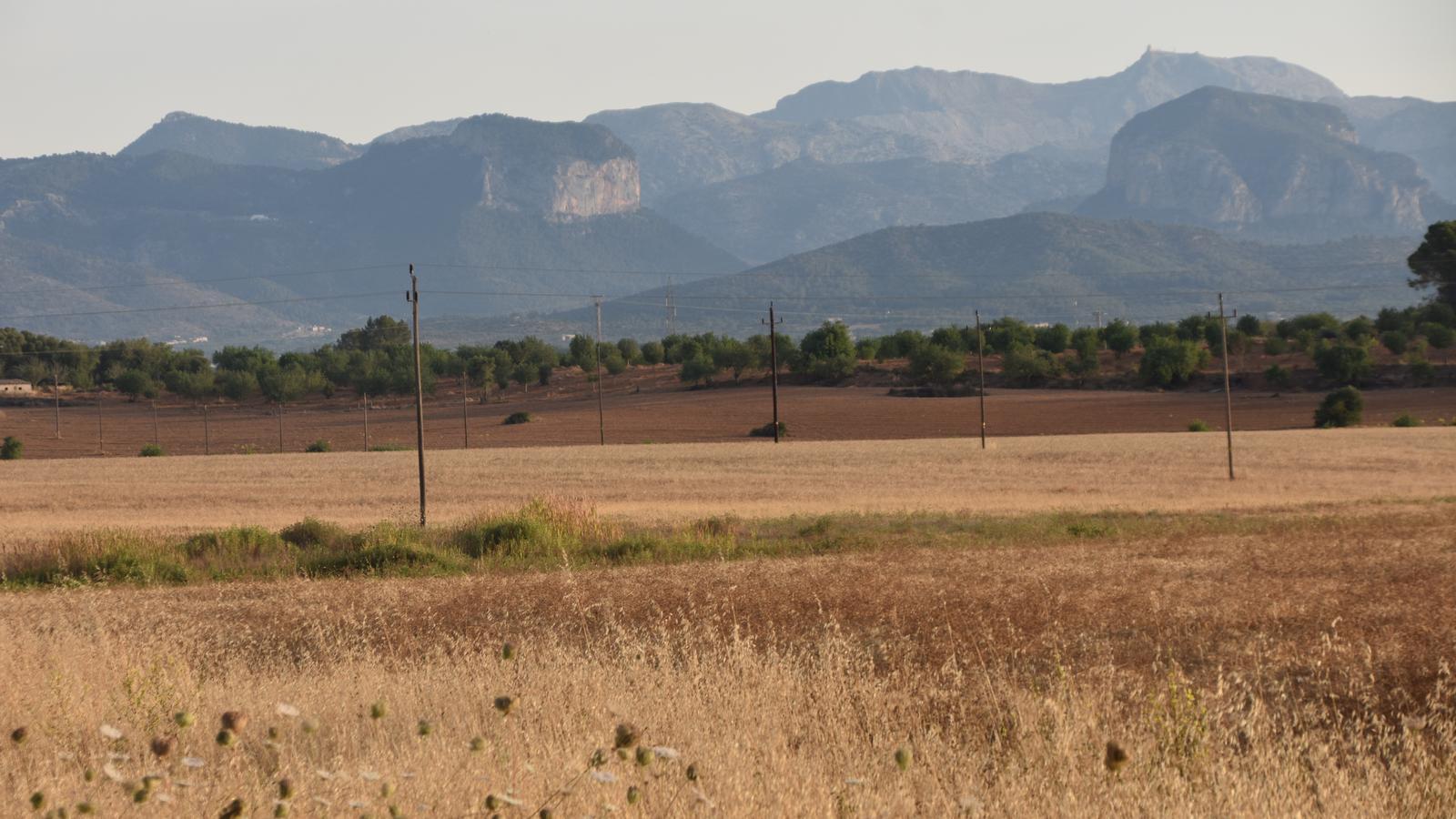
A little further on [15 min], the road turns to the right again, at which point, a mere ten meters from the asphalt, to our left, and behind a natural thicket of brambles, is the well of na Perota. Located within the lands of Son Mascaró, its existence possibly dates back to the Islamic period and it was from ancient times the subject of disputes between the owners of the estate and the inhabitants of Santa Eugènia over the ownership of the water. We continue along the road towards Les Alqueries, still between cultivated fields; to our left we can see, in the distance, the houses of Son Mascaró, while to the right the fields of Son Campins extend. We cross the Son Mascaró irrigation ditch, popularly known as la Síquia. It can be observed how the bed of the channel is framed by large stone pieces. Immediately after, the road ascends slightly through a trenched section called la costa d’en Riera. We enter fully into the hamlet of Les Alqueries [25 min]; we are in a small square crossed from east to west by the Camí de Muntanya, a traditional transhumance route between el Pla and la Serra.
Son Paraire, the oldest house in the hamlet, Can Fonoll and Son Pau, with its beautiful flour windmill, one of the two existing in this quiet hamlet, are the first constructions we can distinguish on our right as we enter the hamlet. Here, we turn left, facing west, in the direction of the Sencelles road (Ma-3020), between Son Riera Vell, Cas Teixidor, Ca na Mera and Son Bosso, on the left, and Can Caló, Can Batlet and Can Cotà, on the right. Quickly, we find ourselves in front of en Comuna's inn [40 min]. This was once a mandatory stopping point for travelers on the Sencelles road. In ancient times, carters and porters, travelers on horseback and pedestrians had the old inns as stages for supplies and rest. The building is simple, one-story, with a marès lintel doorway and a gabled roof. To the left of the facade, there is a well with a chapel.
The houses of the Tower
From the Comuna inn, we turn right, heading east, along a stretch of the old Sencelles road. A straight stretch that ends where it joins the new road. Here the paved path turns right [50 min], again heading towards Les Alqueries. The next point of interest on our route is the Torre houses [55 min]. The houses of this estate are among the most representative in the municipality of Santa Eugènia. The entrance from the outside is through a large gateway that opens onto the path connecting this northeast area of the hamlet of Les Alqueries with the Sencelles road (Ma-3020) and with the center of the hamlet itself, located around the Muntanya road.

[1 h 00 min] We leave les Alqueries, facing east, in the direction of Sineu along the mountain path. Above our heads, to the left, stands proudly the mill of les Alqueries, the second existing flour windmill in this hamlet, called Es Molí. Soon we come across the access to the well of les Alqueries. A forty-meter long passage that ends in a small roundabout, in the center of which the well is located. One of the old 'service areas' existing on the old mountain paths.
We turn right in front of the municipal cemetery [1 h 20 min], behind which is located the Jewish cemetery, the only one existing on our island. About to enter Santa Eugènia, along Fra Juníper Serra street we climb up to El Puget, established as a notary in the 18th century on communal lands attached to the Church. The same street leads us to the cistern, where we end our route [1 h 30 min].
Data
@Fita_a_Fita
